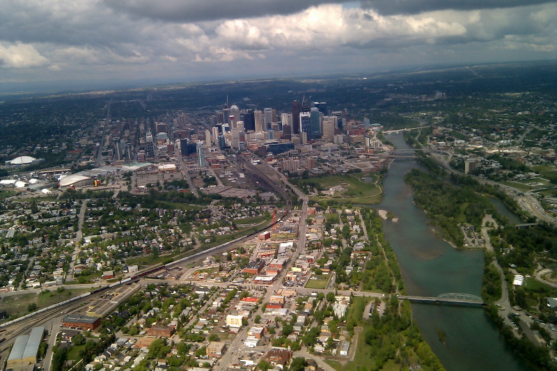
It’s been a while since I’ve had a good view of Calgary during landing, and here we are doing a full sweep of the city on our way in.
If you look at the river on the right hand side of the photo, roughly in the middle are two small beige-ish islands. These mark the junction of the Bow River (the big one) and the Elbow River. This is where the Northwest Mounted Police (NWMP) set-up their first camp in 1875, which later became Fort Calgary and Calgary’s starting point.
Many of the original men who arrived in the area figured that the city would be built south of the Elbow (lower half of the photo) and bought land in hopes of making the fortune. A select few gambled on the city rising on the north side of the Elbow and bought land here and became very wealthy men. One such man was Colonel MacLeod (of MacLeod Trail trail) who named the city Calgary after Calgary Bay on the Isle of Mull in Scotland.
