Mountain View to Monterey: 83 mi / 134 km (1.5 hours-ish). Monterey to Big Sur: 30 mi / 48 km (44 min-ish)
Over the July 4th long weekend, the potential for beaches, beautiful scenery, and seaside weather drew us South to the Monterey Coast. The area between Carmel and San Simeon is loosely known as Big Sur.
Historically, the Spanish called it el país grande del sur, which roughly means the big country to the south. Parts of the area was barren and inhospitable; because of this, Junípero Serra bypassed it and went further North to found Mission Carmel. Spanish sailors avoided landing along the coast because of the rough waters, dangerous rocks, and cliffs. They preferred the predictability of Monterey Bay.
For thousands of years, Indigenous Americans used this area for hunting, fishing and foraging. After this, the next group of people to stay were Mexican ranchers who allowed their cattle to roam freely over the land. It’s thought that the cattle helped scatter seeds and bring vegetation to some of the more barren areas. Still, the area was inaccessible by vehicle until the completion of Highway 1 in 1937. This highway was built by prisoners from San Quentin Prison who contributed labour in exchange for a reduced prison sentence.
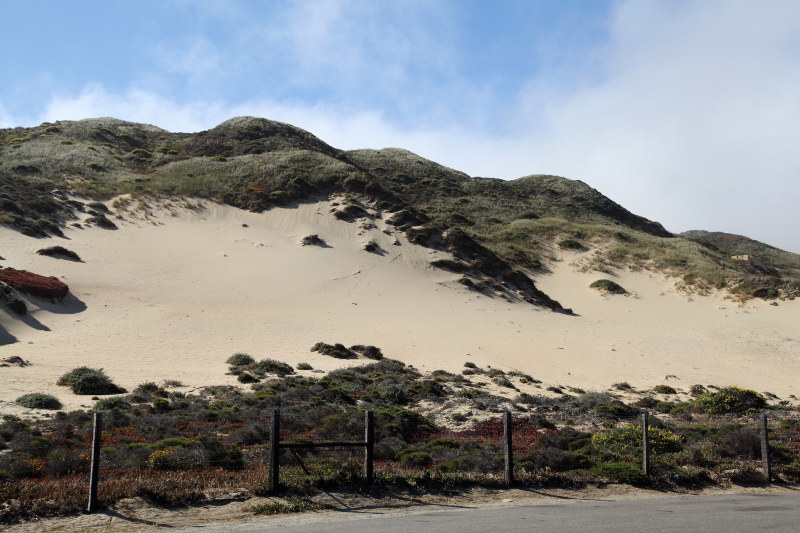
These days the route is comprised of winding roads lined with cliff side pullouts, scenic bridges from the 1930s, unique vegetation, and tourists. Don’t expect to get anywhere fast because of all the people. Also, unpredictable fog rolls in from the ocean and blankets the area making it difficult to photograph. On our first day, during the morning we could see nothing through the fog; it cleared in the afternoon. On the second day, the morning was sunny and pristine and the afternoon brought thick fog that lasted for the rest of the day. On the third day, we saw nothing but white.
As an aside, the driving distance from Calgary to Monterey (2,249 km) is roughly the same as the distance from Calgary to Whitehorse (2,288 km).
