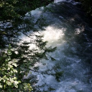
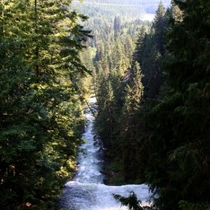
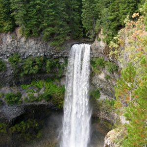
Brandywine Falls is located along the Sea To Sky Highway just 11km south of Whistler. It’s easily accessible from the road and is considered a mild hike with little to no incline.
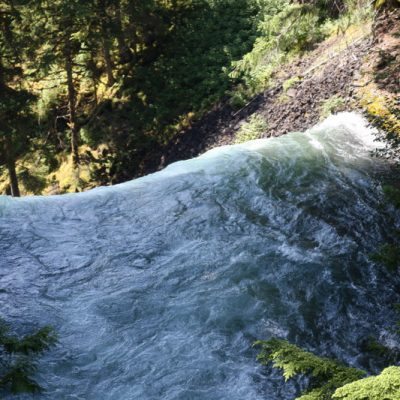
The view from the top of the Brandywine falls can only be taken by train, we were told. And, this view lasts mere seconds. It was on the way back that I managed to get a few snaps in Sport mode before trees and mountains got in the way.
The falls are 70 meters in height and are part of the Garibaldi Volcanic Belt, a northwest-southeast chain of volcanoes and related lavas that form the northern end of the Cascade Volcanic Arc.
There is debate over where the “Brandywine” name comes from. The story we were told (and the story that is all over the internet) is of two surveyors named Jack Nelson and Bob Mollison who placed a bet over who could accurately estimate the height of the falls. When the height was actually measured, it was Mollison who was correct and who won a bottle of brandy for his estimate. Nelson then named the falls Brandywine.
Photo of the falls from the front by Paul Mannix.
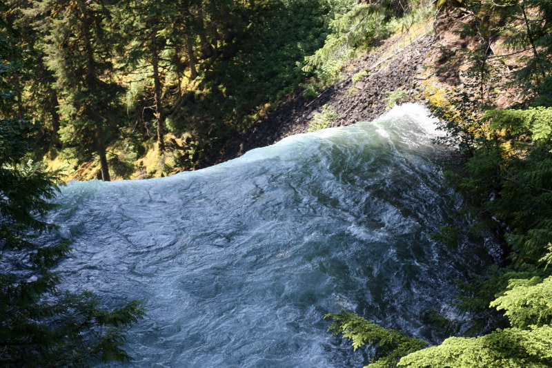
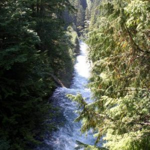
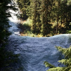
Sounds like the Hobbit area of Lord of Rings. Oops, I think I just outed myself as a nerd.