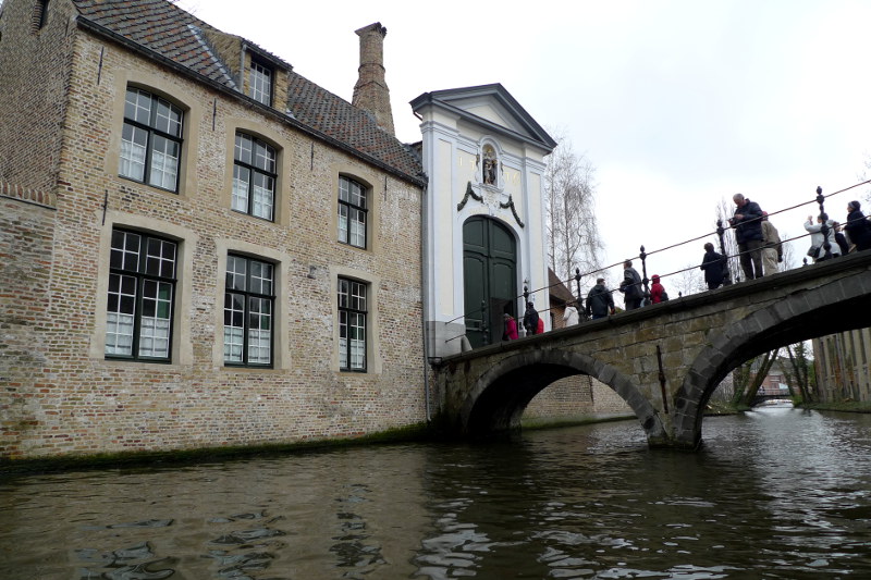
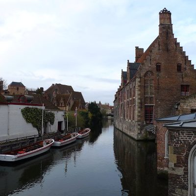
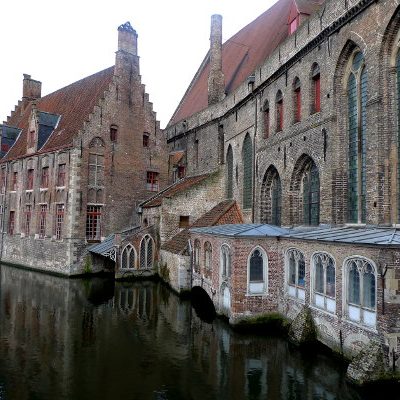
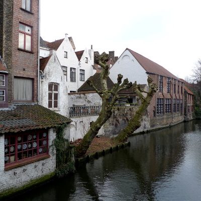
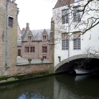
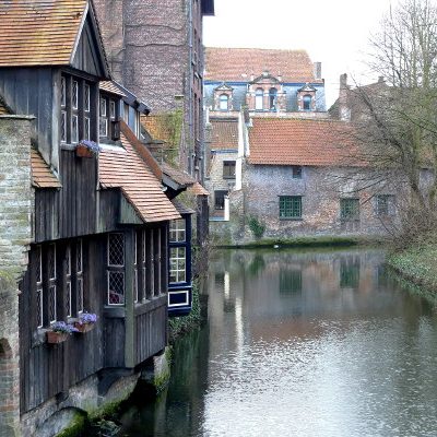
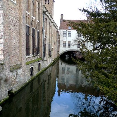
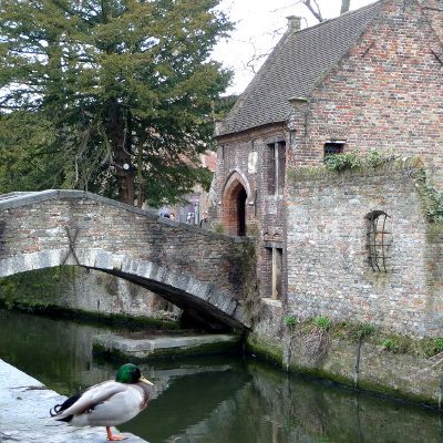
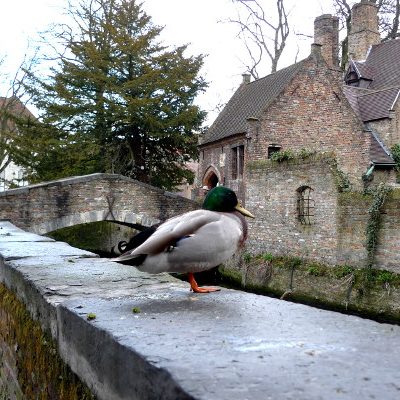
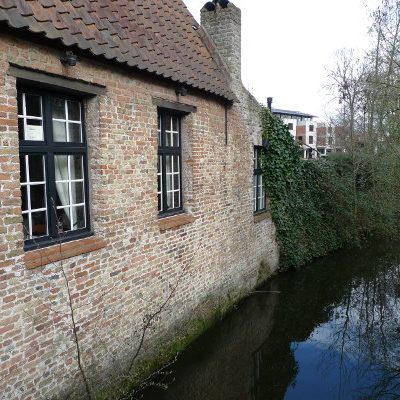
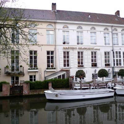
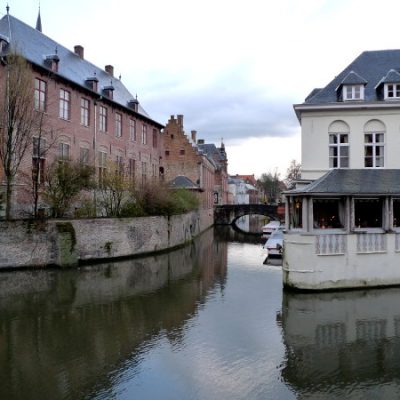
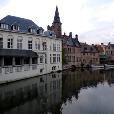
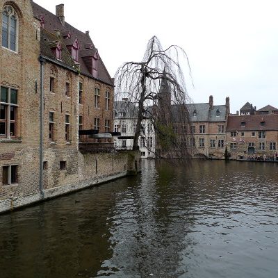
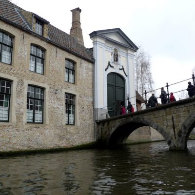
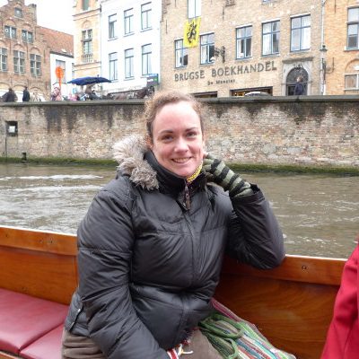
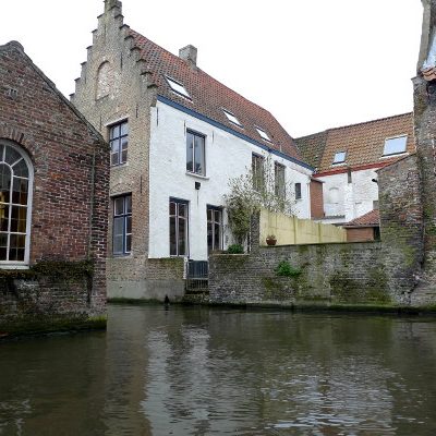
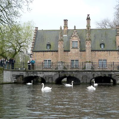
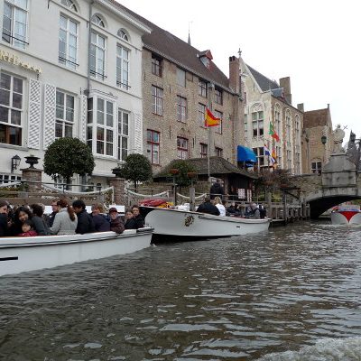
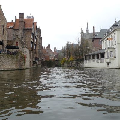
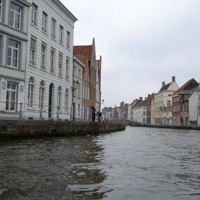
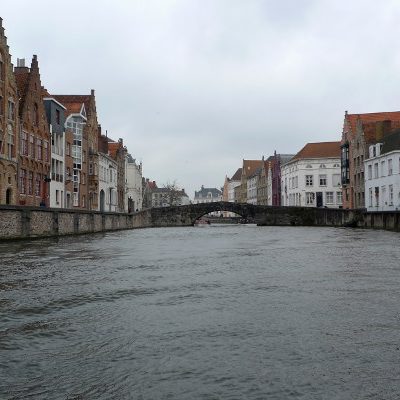
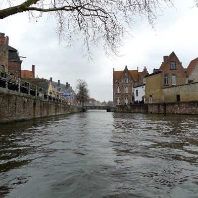
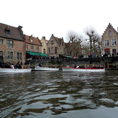
I realize it’s cliché, but Brugge has often been called the Venice of the North… mostly because of the elaborate maze of picturesque waterways that weave their way through the city. These were once used extensively for trade and inland travel, but are now only used by tourist boats. And, *apparently* there are only five families that are allowed to run tourist boats (with four boats per family = 20 boats).
From thirteenth to the sixteenth century, because of its network of canals and proximity to the North Sea, Brugge was the face of the Flemish textile trade to the world. At one point it was described as a commercial powerhouse, and the most important port in the world. This changed when the Zwin estuary silted over and large boats could no longer access the city. Soon after, merchants left for greener pastures and Brugge became trapped in a medieval time bubble; a time bubble that now attracts millions of tourists each year.
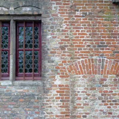
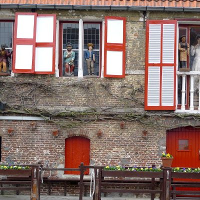
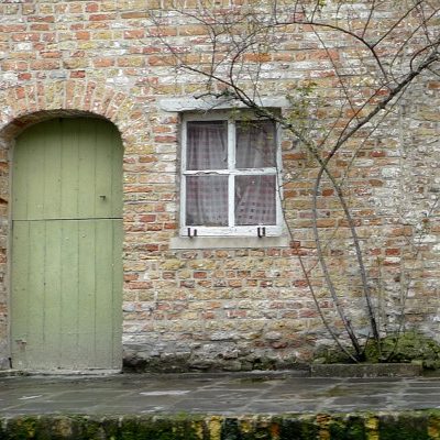
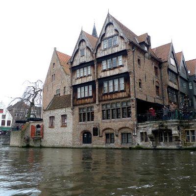
As you wend your way through the canals you can see that not much has changed. Little delivery doors give glimpses of days gone by… as do the chutes where sewage once dropped into the canals. I tried to find interesting stories of smuggling, the World Wars, or something about a mysterious network of illegal activity that was run via the canals — but alas, I could find nothing. It seems Brugge protects its identity fiercely. So much so that in talking locals I was told that amongst Belgians Brugge has the reputation of being a candy coated / fabricated representation of the country; and, if you want a more realistic view than you need to visit Ghent.
1 comment on “Brugge Waterways”Add yours →